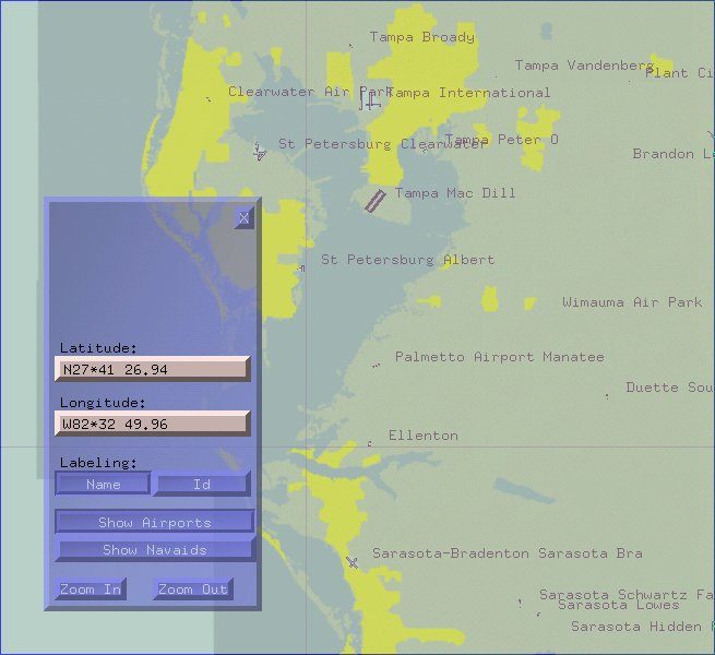
Atlas allows you to see your position on a scrolling world map as you fly around with flight gear, and even print your own flight charts. it reads terrain data from flight gear's scenery database. note that using it for real world navigation purposes is strongly discouraged and probably illegal.