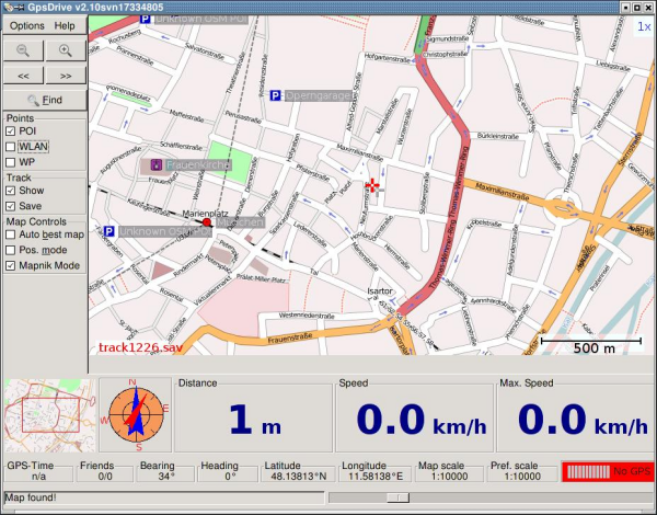
Map-based navigation system that displays the current position provided by a gps receiver on a zoomable map. maps can be downloaded from different map providers or rendered on-the-fly using the openstreetmap dataset.
route planning, optionally with spoken directions, is supported through waypoints.