grass

Geographic Resources Analysis Support System (GRASS GIS)
  https://grass.osgeo.org/
  19
  11 reviews


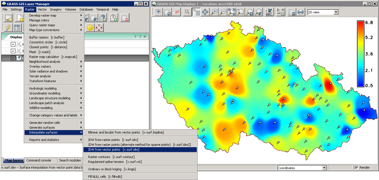
Commonly referred to as GRASS, this is a Geographic Information System (GIS) used for geospatial data management and analysis, image processing, graphics/map production, spatial modeling, and visualization. GRASS is currently used in academic and commercial settings around the world, as well as by many government agencies and environmental consulting companies.

Install this virtual package to get a full GRASS system.
Latest reviews
4
scott_s 10 years ago

Grass is good for raster processing. If they ever got away from having to set your own regions and import every dataset, it'd be way better. It's pretty clunky and hard to use and some tools simply don't work well or at all so its always trial and error. However, it is free and has many tools that work really well. I like it overall but it leaves a lot to be desired for usability and algorithm stability. I've had tools fail and fill up an entire hard drive with garbage. The flip side is that it can be fast and return good results if you get lucky.

5
mazinga 10 years ago

Has a ton of tools. The GUI is ugly and unfriendly, but it's perfect when used as a QGIS integration.

5
omenred 11 years ago

wake up! almost everything in gis is here, and free, and working... what do you want?

5
silicont 12 years ago

I can't believe it's free. This makes life easier for GIS folks.

4
Hombre 12 years ago

super

5
antolieztsu 12 years ago

The best GIS ever

5
marsofearth 13 years ago

Fantastic GIS - Even greater when used with QGIS as the front end.

5
Tomas_IV 13 years ago

Best free GIS, especially when it comes to breadth of analytical functions.

5
B_Tide 13 years ago

Very very good at gis software!

4
LitoII 13 years ago

I'm sorry but how run it

5
leohardtke 14 years ago

Very good GIS