qlandkartegt

GPS mapping (GeoTiff and vector) and GPSr management
  http://www.qlandkarte.org
  11
  7 reviews


This package provides a versatile tool for GPS maps in GeoTiff format as well as Garmin's img vector map format. QLandkarteGT is the successor of QLandkarte. Among various improvements (e.g. 2D/3D map rendering and reduced resource demands) the major difference is its device-independent architecture.

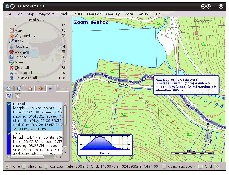
Additionally, QLandkarteGT serves as a frontend to the GDAL tools, to make georeferencing of scanned maps feasible for users. In contrast to similar tools (e.g. QGis) its straightforward interface is especially suited for non-scientific users.
Latest reviews
3
Caltrop 5 years ago

will not maximize; goes under panels; hard to use

5
Akustyk 10 years ago

Nice!

5
dirkjanl 10 years ago

Mooi!

5
parallax68 10 years ago

excellent software, use it to create garmin compatible maps from Open Street Map to transfer on device

5
ThorsGate 10 years ago

really good - I love it - Thanx

5
hotte76 12 years ago

Tolle Software für Geocaching. Importiert Caches von GC.com. Upload auf Garmin Geräte. Super-Karten von OSM. Perfekt!

4
blueXrider 12 years ago

quite nice